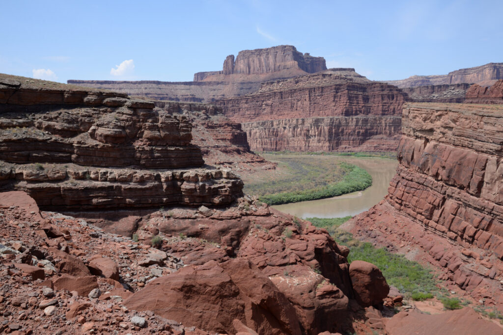
It’s easy to look at a sprawling desert or a jagged, empty mountain range and assume it has always been that way, but the Earth has a habit of completely rewriting its own geography.

Some of the most hostile, bone-dry spots on the planet were once thick with forests, winding rivers, and a massive variety of wildlife. These 10 locations serve as a pretty stark reminder of how quickly the climate can flip a switch, turning a thriving paradise into a wasteland where almost nothing can survive. Whether it was caused by a slow change in the planet’s orbit or more sudden environmental disasters, the history of these barren places is hidden just beneath the sand and rock. Looking back at what they used to be gives a proper perspective on just how much the world can change if you give it enough time.
The Aral Sea, Kazakhstan and Uzbekistan
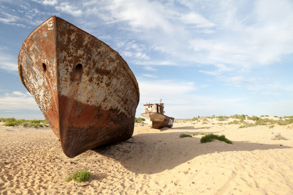
This used to be a huge inland sea with fishing towns, wetlands, and a proper local climate built around all that water. Over decades, the rivers feeding it were heavily diverted for irrigation, especially for cotton, and the sea shrank fast. Whole shorelines pulled back so far that former ports ended up sitting in the middle of sand.
Now a lot of what used to be seabed is the Aralkum Desert, and dust storms can lift salt and old pollutants off the exposed ground. The northern part has had some recovery thanks to a dam, but the wider picture is still one of a once-lush water world turning into bare, salty land.
Lake Poopó, Bolivia
Lake Poopó was once Bolivia’s second-largest lake, supporting fishing and birdlife, and it was part of a whole high-altitude wetland system. It was also shallow, which made it vulnerable, so when drought hit and water was diverted for agriculture and mining, it didn’t have much buffer. By late 2015 it was widely reported as effectively dried up, leaving boats and communities stranded from the life they built around it.
What’s left looks more like a salt flat with scraps of marsh in places, instead of a working lake. When a lake disappears like that, it’s not just water that goes missing, it’s food chains, jobs, and the whole rhythm of the region.
The Mesopotamian Marshes, southern Iraq.
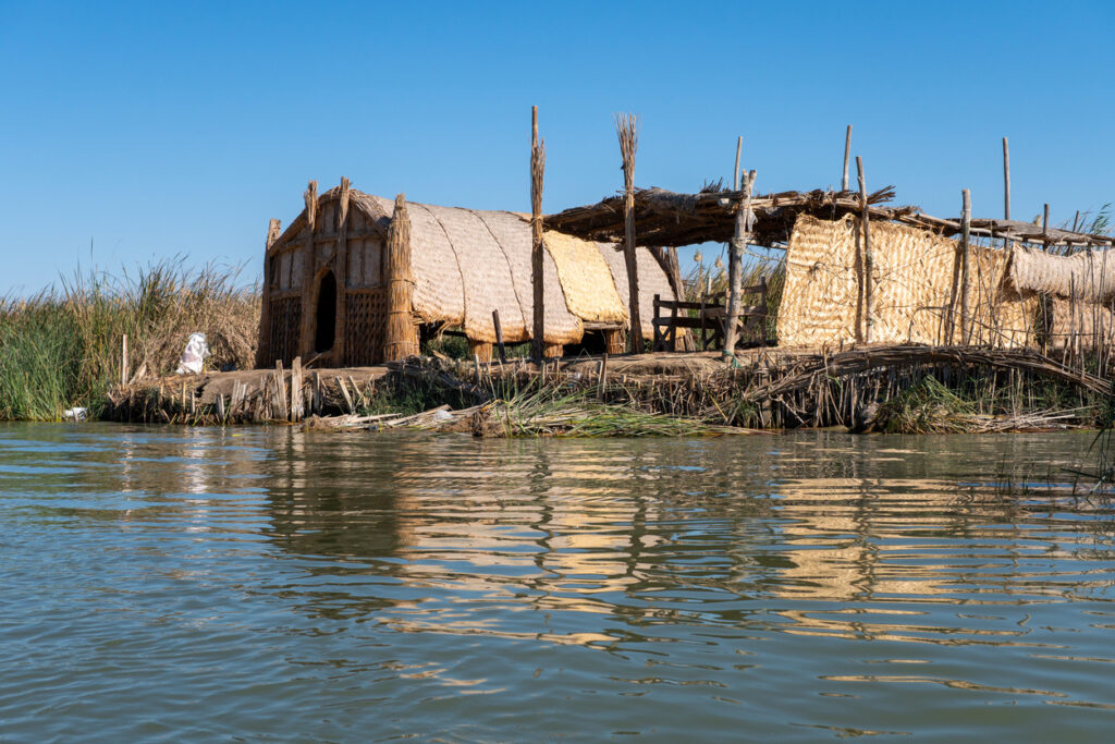
These marshes were once one of the great wetland landscapes of the Middle East, full of reeds, fish, water buffalo, and migrating birds. Large areas were drained and diverted, with the damage accelerating in the 1990s for political reasons, and by around 2000 most of the marshland had disappeared. The land didn’t just dry, it flipped into dust and salt, and communities that lived with the marsh for generations were pushed out.
Some water returned after 2003 and parts recovered, but they’ve stayed fragile and have been drying again under drought and reduced river flow. So it’s a place that shows two kinds of loss, the deliberate draining, then the slow ongoing squeeze from water scarcity.
Owens Lake, California, USA
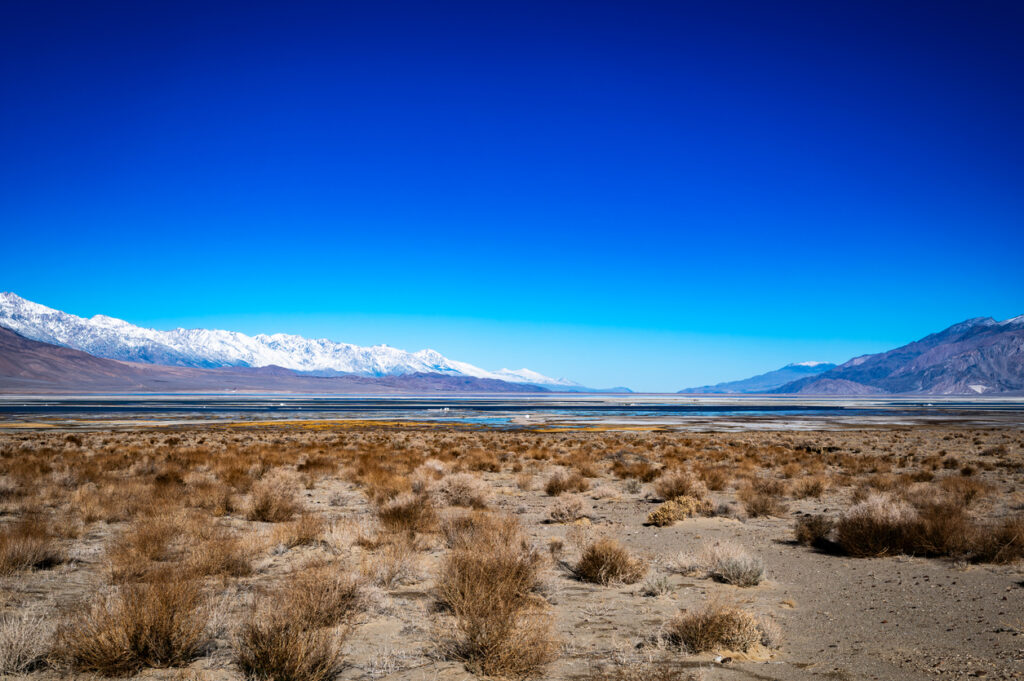
Owens Lake used to be a real lake in a desert valley, with water coming in from the Owens River and plenty of birdlife. When Los Angeles diverted water into the Los Angeles Aqueduct starting in 1913, the lake steadily dried out, and by the 1920s it was largely gone. That created a huge exposed lakebed, the kind that looks like a pale, cracked plain from a distance.
One of the biggest problems now is dust because dry lakebeds can become massive sources of blowing particles. Owens Lake has needed major dust control efforts for years, including shallow flooding in places to keep the surface from turning into airborne grit.
The Colorado River Delta, Mexico
The Colorado River used to spread out into a vast delta of wetlands and green channels before meeting the sea, basically a desert oasis on a huge scale. Over time, dams and upstream withdrawals meant the river often stopped short of the Gulf of California, and the delta dried into dusty channels with only small remnants of the old habitat. What used to be thick with willows, cottonwoods, and birds became patchy and stressed.
There have been projects that send water back through parts of the delta and restore pockets of habitat, which shows how quickly life can return when water returns. But the overall story is still about a once-lush river mouth being reduced to a mostly dry landscape by taking too much water upstream.
Lake Chad, at the borders of Chad, Nigeria, Niger, and Cameroon
Lake Chad has always naturally expanded and shrunk, but in the late 20th century it dropped dramatically, especially after major droughts in the 1970s and 1980s. A lake that once covered a huge area in the 1960s was reduced to a fraction of that in the decades after, with big knock-on effects for fishing, farming, and wildlife around the basin. From above, it can look less like a single lake and more like scattered water patches, depending on the year.
It’s also a good example of how a place can become functionally barren for people and ecosystems, even if some water remains. When a lake shrinks, the edges turn into dry, dusty flats, and life that depended on reliable water gets pushed into tighter, more fragile zones.
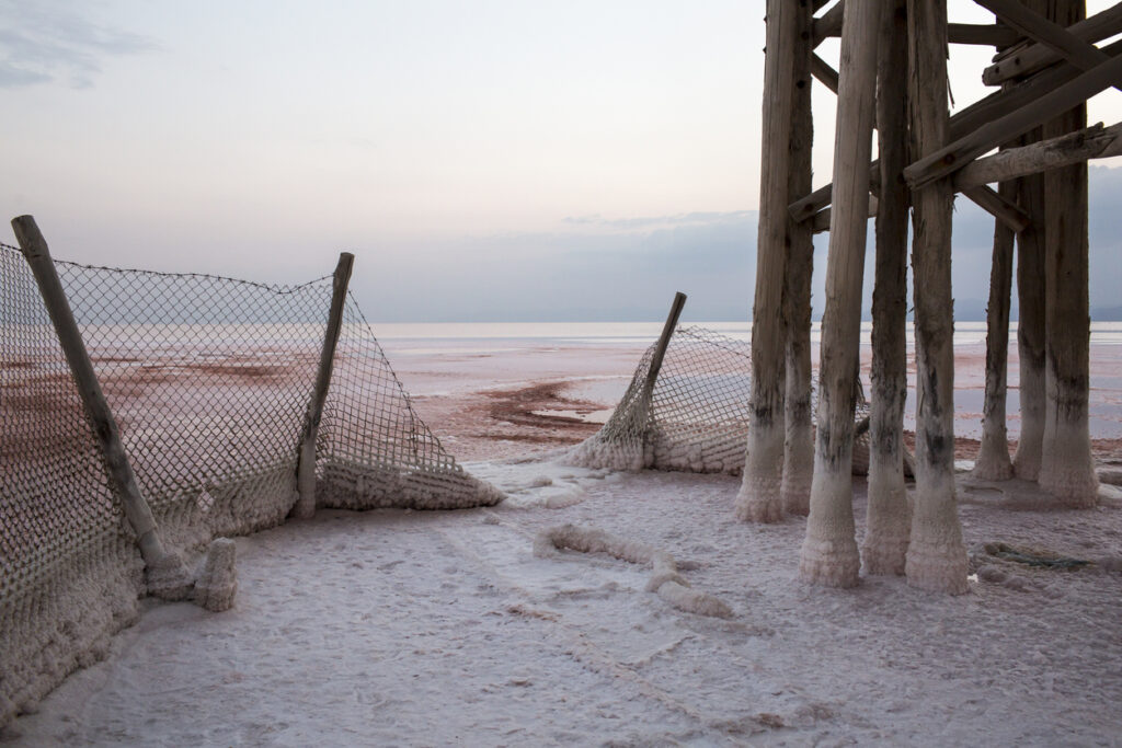
The Dead Sea shoreline, Israel, Jordan, and the West Bank
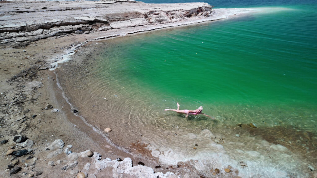
The Dead Sea isn’t lush in the tropical sense, but the areas around it used to be more stable, with springs and wetlands nearby, and a shoreline that didn’t move like it does now. Over recent decades the water level has been dropping fast, driven by diversion of the Jordan River and heavy water use in the region, plus intense evaporation. The result is a retreating shoreline that leaves behind bare, salty ground.
One grim side effect is sinkholes, which have been appearing as the water table changes and underground salt layers dissolve. So you get this odd, ghostly landscape where the water keeps pulling back, and the land becomes unstable and empty in places that were previously active and visited.
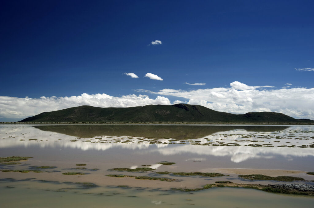
Lake Urmia, Iran
Lake Urmia was once famous for its size and its wildlife, including brine shrimp that supported huge numbers of birds. Over about the last 60 years it has shrunk drastically, with big drivers including dams, water diversion for agriculture, and drought. As the water receded, large areas turned into exposed salt flats, and nearby regions started dealing with salt dust and ecosystem damage.
When a salt lake collapses, it doesn’t just mean less water, it means a whole habitat system goes sideways. A smaller lake can also become saltier and less able to support the life that made it valuable in the first place, so even the remaining water can feel biologically emptier than it used to be.
The Salton Sea, California, USA
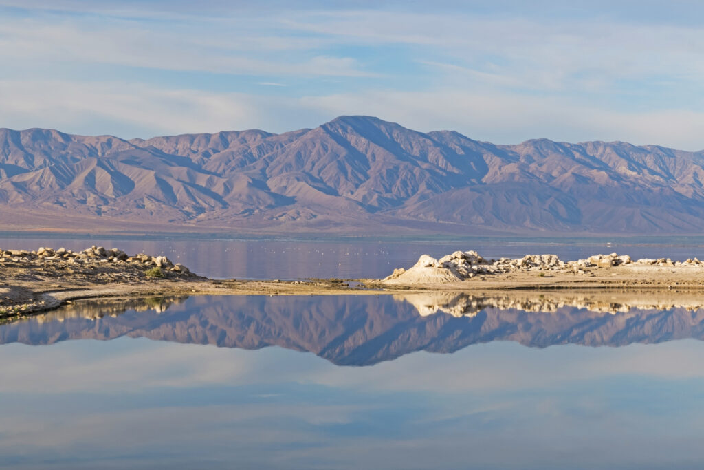
The Salton Sea became a major stop for birds and a big local feature, but it has been shrinking as water management and drought reduce inflows. As it pulls back, more lakebed gets exposed, and that exposed ground can become dusty, salty, and contaminated from decades of agricultural run-off. The shoreline looks increasingly like a bare, bleached ring around what water remains.
It’s also a human health story because wind can carry dust off the dried lakebed into nearby communities. Over time, that turns the place into a harsh landscape in more ways than one, with wildlife loss on one side and breathing problems for locals on the other.
Lop Nur, Xinjiang, China
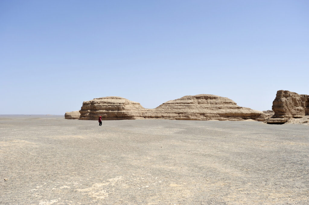
Lop Nur was once a terminal lake system fed by rivers like the Tarim, and older accounts describe it as a big, reed-filled water body in a harsh region. Over the 20th century it dried out again and again as the river’s course changed, and human water control increased, and by the 1960s it had largely dried up. Today it’s mostly a salt-crusted basin, with old shorelines visible like rings in the landscape.
What makes Lop Nur feel eerie is that it sits in a region where water equals life, so losing it is basically losing the thing that made settlements and habitats possible. In places like this, when the water stops arriving, the whole living system collapses with it, and the land left behind can look empty for decades.