Most people see a perfectly still lake or a sleepy mountain valley and think they’ve found the ultimate spot for a bit of quiet reflection.
However, in some corners of the world, that peaceful vibe is a bit of a lie, masking a landscape that is actually in the middle of a geological meltdown. We’re talking about places where the ground is quite literally shifting under your feet, or where a picturesque hillside is only one heavy rainstorm away from turning into a massive landslide.
It’s a weirdly unsettling thought that some of the most beautiful, postcard-worthy locations on Earth are actually sitting on hair-trigger faults or pockets of volcanic gas that could go off at any moment. These 10 spots might look like the perfect place for a nap, but they’re actually some of the most unstable and unpredictable environments you could ever choose to visit.
1. Yellowstone National Park looks like a nature lover’s paradise.
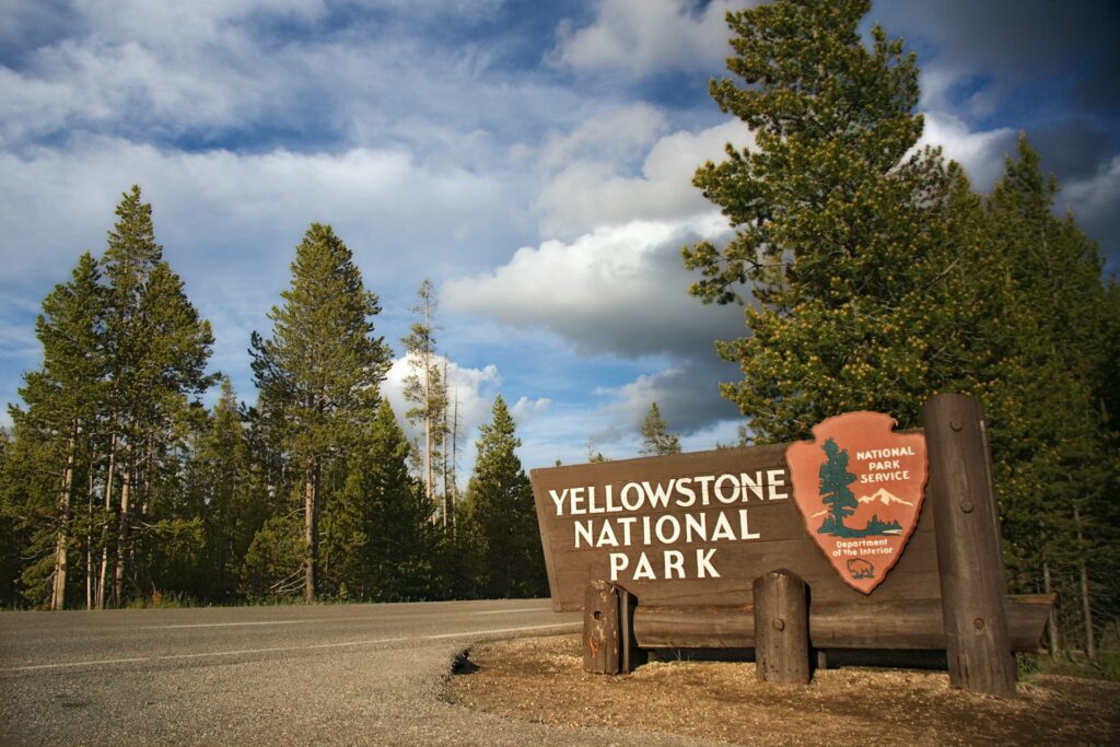
Tourists flock to Yellowstone to see its stunning geysers and wildlife, but they’re actually walking across one of the world’s largest supervolcano calderas. The park’s famous hot springs and geysers exist because of the massive magma chamber lurking just a few kilometres below the surface.
Ground temperatures in some areas reach boiling point, and the entire caldera rises and falls by several centimetres each year as the magma shifts beneath. Scientists monitor thousands of small earthquakes that happen here annually, most too subtle for visitors to notice. The colourful bacterial mats around the thermal features create picture-perfect scenes that distract from the enormous volcanic system supporting them.
2. New Zealand’s Southern Alps are breathtakingly beautiful.
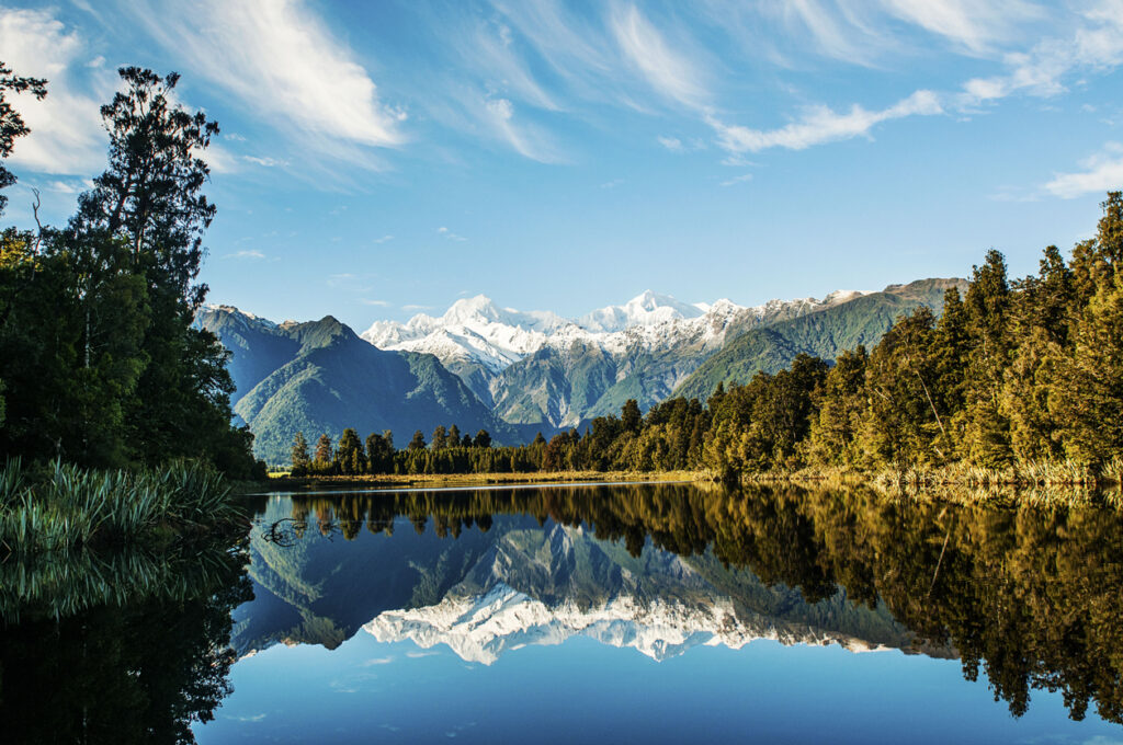
The snow-capped peaks and pristine lakes of New Zealand’s Southern Alps draw hikers and photographers from around the world, but these mountains sit directly on the boundary between two tectonic plates. The Alpine Fault runs the length of the South Island, building pressure that will eventually release in a massive earthquake.
Geologists estimate the fault produces a major quake roughly every 300 years, and the last one happened in 1717. The mountains are still growing as the plates collide, rising several millimetres each year. Towns nestled in valleys between these peaks face not just earthquake risk, but also the threat of landslides when the ground finally shifts.
3. Iceland’s landscape feels otherworldly and serene.
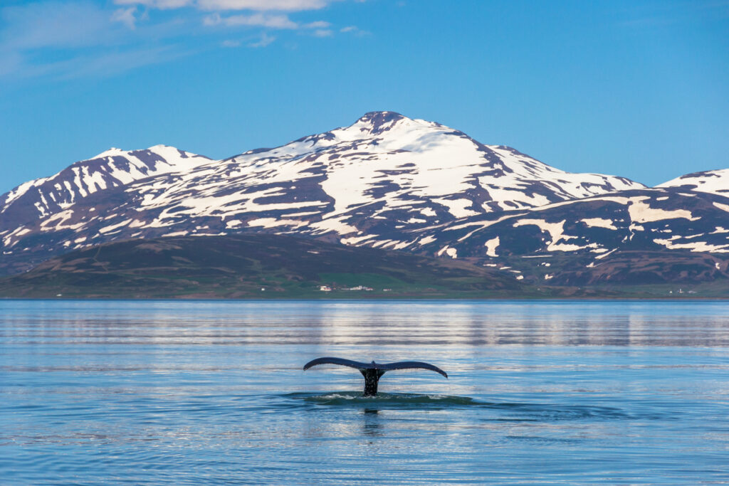
Iceland’s moss-covered lava fields, steaming hot springs, and dramatic waterfalls create an ethereal atmosphere, but the entire island is essentially a massive volcanic construction site. The country straddles the Mid-Atlantic Ridge where the Eurasian and North American plates are pulling apart, creating new land as magma wells up from below.
Eruptions happen on average every four years, and several volcanoes remain active beneath glaciers, which can trigger catastrophic flooding when they erupt. The geothermal activity that powers Iceland’s homes and warms its outdoor pools comes from the same volcanic system that occasionally disrupts air travel across Europe.
4. Lake Kivu in Central Africa is stunningly tranquil.

This deep lake on the border between Rwanda and the Democratic Republic of Congo offers peaceful shores and fishing villages, but its waters hold enormous quantities of dissolved carbon dioxide and methane. These gases accumulate in the lake’s depths due to volcanic activity beneath the lake bed, and if disturbed by an earthquake or volcanic eruption, they could suddenly release in a deadly cloud.
A similar event at Lake Nyos in Cameroon killed over 1,700 people in 1986. The methane in Lake Kivu is actually being harvested for energy now, but the extraction process must be carefully managed to avoid triggering a release. Two million people live along the lake’s shores, completely unaware of the danger during their daily routines.
5. The Bay of Naples looks like an Italian postcard.
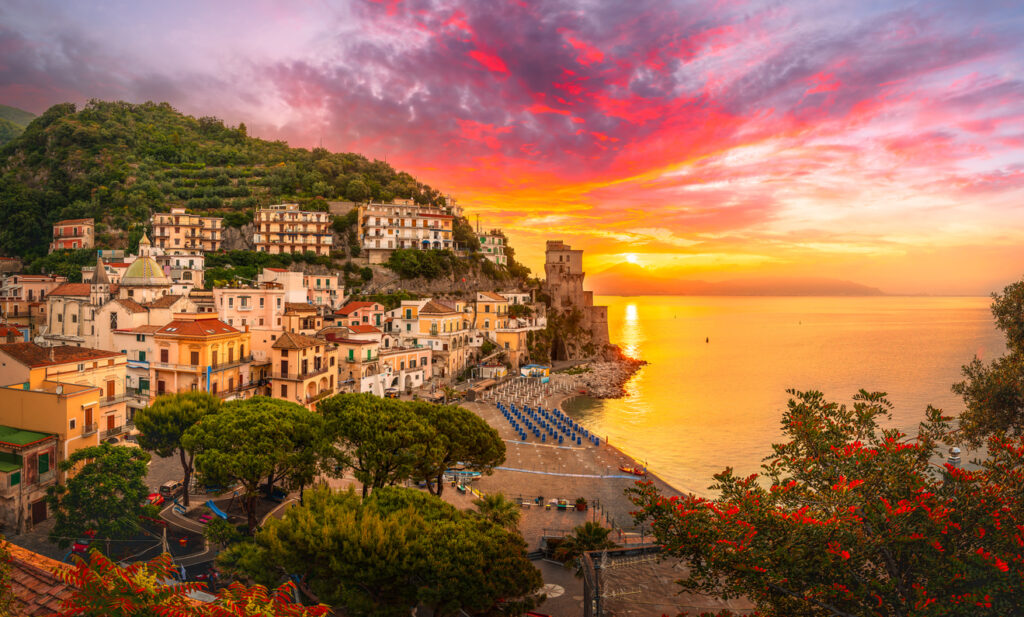
The sweeping bay with its azure waters and coastal villages appears idyllic, but Mount Vesuvius looms over the entire region as Europe’s most dangerous volcano. Three million people live within its potential blast zone, many in Naples itself, one of Italy’s largest cities.
The volcano’s last major eruption in 1944 wasn’t particularly large, but the eruption in 79 AD that buried Pompeii and Herculaneum shows what Vesuvius can do when fully awakened. The Campi Flegrei caldera just west of Naples adds another layer of volcanic risk, as this massive system has been showing increased activity in recent years. Ground uplift and increased seismic activity suggest magma is moving beneath the surface.
6. Japan’s Mount Fuji is a symbol of serenity.
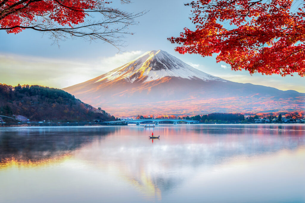
This perfectly symmetrical volcano appears in countless artworks depicting peace and natural beauty, but it remains an active volcano that could erupt at any time. More than 25 million people live within its potential impact zone, including large portions of Tokyo and Yokohama.
The last eruption in 1707 covered Edo, now Tokyo, in several centimetres of ash, and a modern eruption would cause far more disruption to the densely populated region. Fuji sits where three tectonic plates meet, making the geological situation particularly complex. The 2011 earthquake that triggered the Fukushima disaster increased pressure on the volcano, though it hasn’t erupted yet.
7. The Maldives offers paradise beaches and crystal waters.
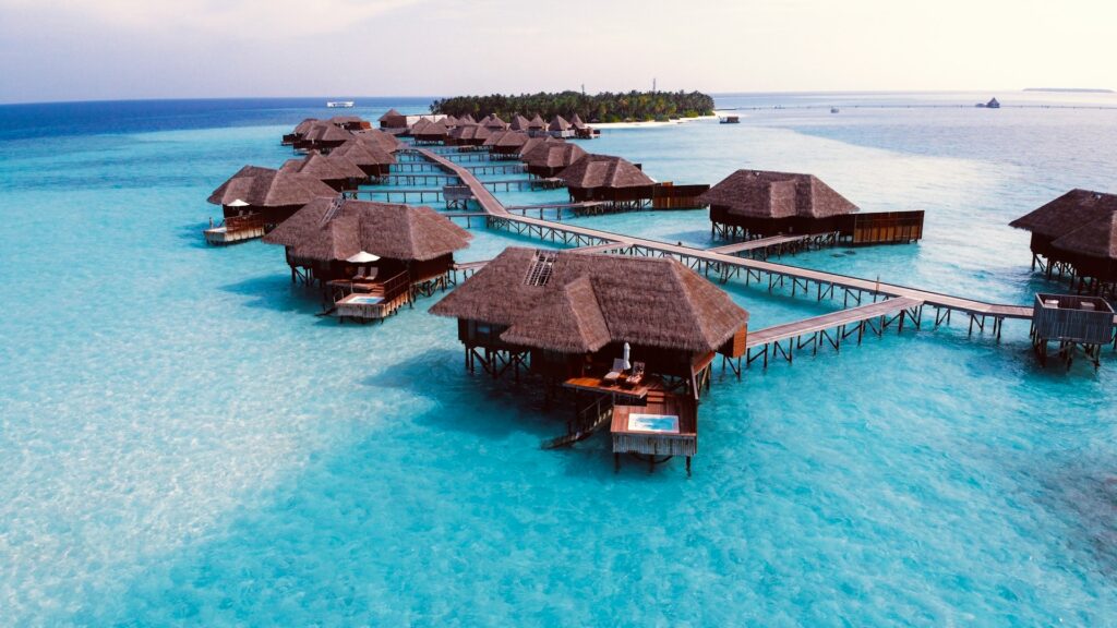
These low-lying islands represent the ultimate tropical escape, but they sit on the edge of a tectonic plate boundary that could shift catastrophically. The entire nation lies barely two metres above sea level on average, making it vulnerable not just to rising seas but also to tsunamis triggered by undersea earthquakes.
The 2004 Indian Ocean tsunami that devastated coastal communities across the region also affected the Maldives, though the death toll was lower than in other areas. The coral atolls that form these islands provide some natural protection, but they’re gradually eroding. Underwater earthquakes in the region remain a constant, if invisible, threat.
8. California’s Napa Valley is known for peaceful vineyards.
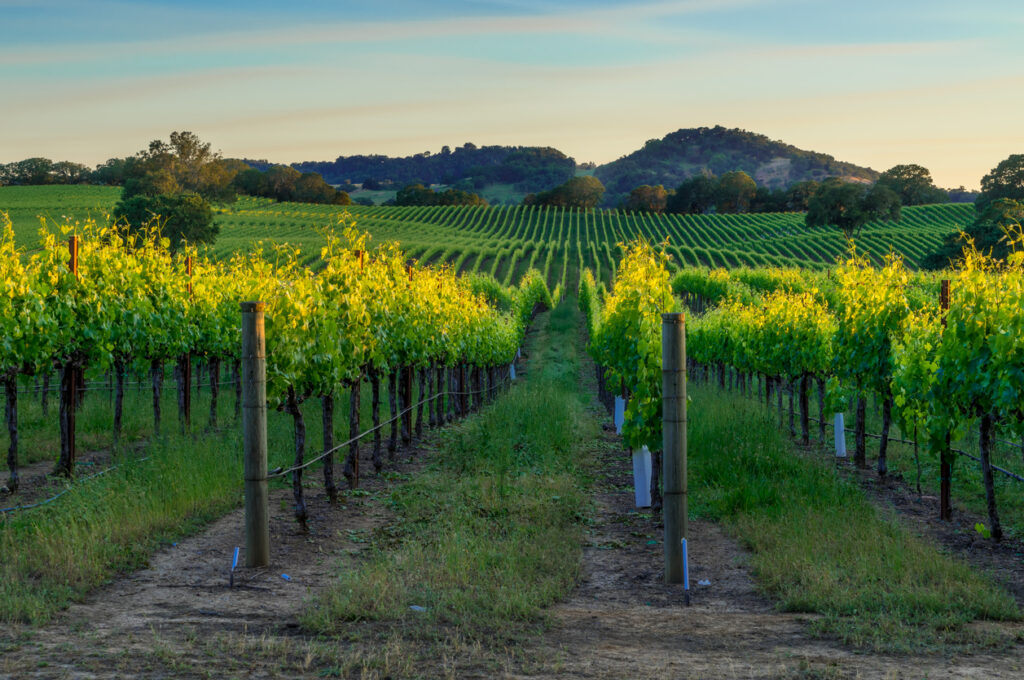
Rolling hills covered in grapevines create a bucolic landscape that attracts tourists seeking relaxation and wine tasting, but the valley sits directly between the Hayward and Calaveras faults. The entire region experiences regular earthquakes, including a magnitude 6.0 quake in 2014 that damaged numerous wineries and historic buildings.
The same volcanic soils that make the wine so good also hint at the region’s unstable geological past. San Francisco and Oakland, just an hour away, face even greater earthquake risks from multiple active faults running beneath the Bay Area. The certainty of future major earthquakes contrasts sharply with the valley’s peaceful reputation.
9. Greece’s Santorini looks like a romantic getaway.
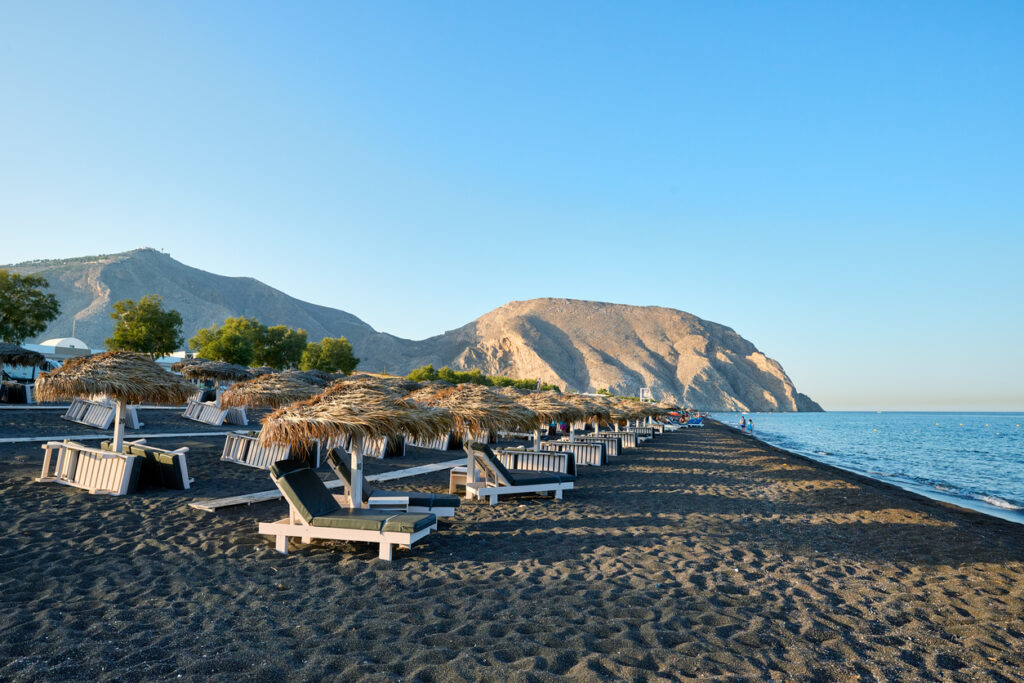
The white-washed buildings perched on cliffs overlooking a deep blue caldera create one of the world’s most photographed scenes, but that stunning caldera is actually a collapsed volcanic crater. The volcano that created modern Santorini erupted around 1600 BC in one of the largest volcanic events in recorded history, possibly contributing to the collapse of the Minoan civilisation.
The volcano remains active, with the most recent eruption occurring in 1950. A submarine volcano in the caldera’s centre occasionally shows signs of activity, releasing gases and causing minor earthquakes. The dramatic cliffs that make Santorini so beautiful are essentially the rim of a catastrophic explosion waiting to happen again.
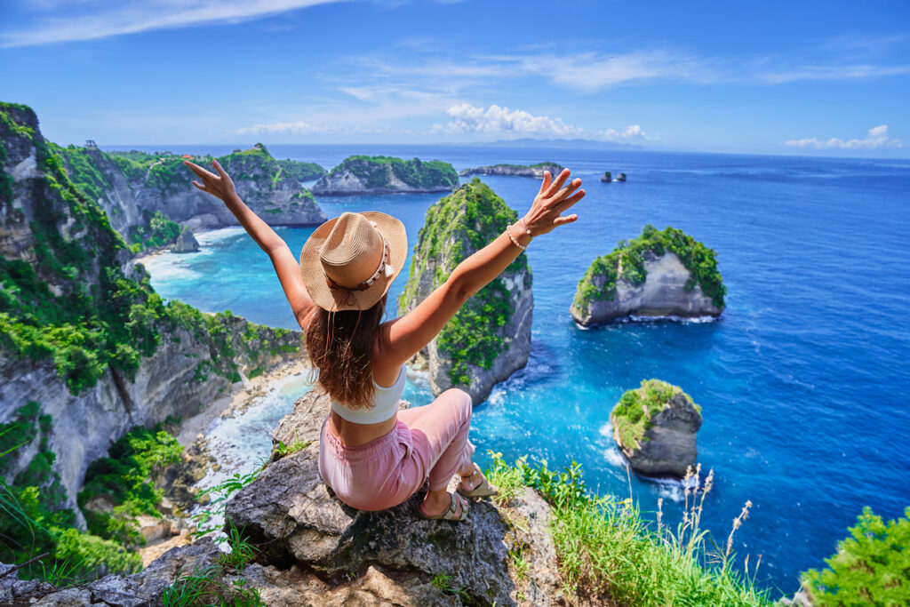
10. Indonesia’s Bali combines beaches with lush volcanic landscapes.
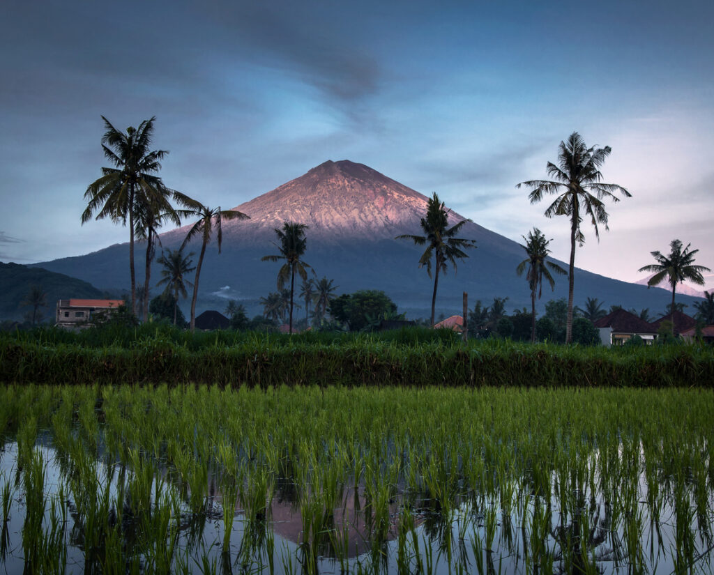
Terraced rice paddies, tropical beaches, and ornate temples create Bali’s reputation as a spiritual paradise, but the island is part of Indonesia’s incredibly active volcanic arc. Mount Agung, the island’s highest peak and a sacred site, erupted as recently as 2017, forcing mass evacuations and closing the airport.
The fertile volcanic soil that supports Bali’s agriculture comes from previous eruptions that devastated the landscape. Frequent earthquakes shake the island as the Australian plate subducts beneath the Eurasian plate offshore. The same geological violence that created Bali’s dramatic scenery and rich soils continues beneath the surface, occasionally reminding residents and tourists that paradise has a volatile foundation.