While we tend to think of the British landscape as a permanent fixture of rolling hills and solid cliffs, the truth is that much of the UK is in a state of constant, restless movement.
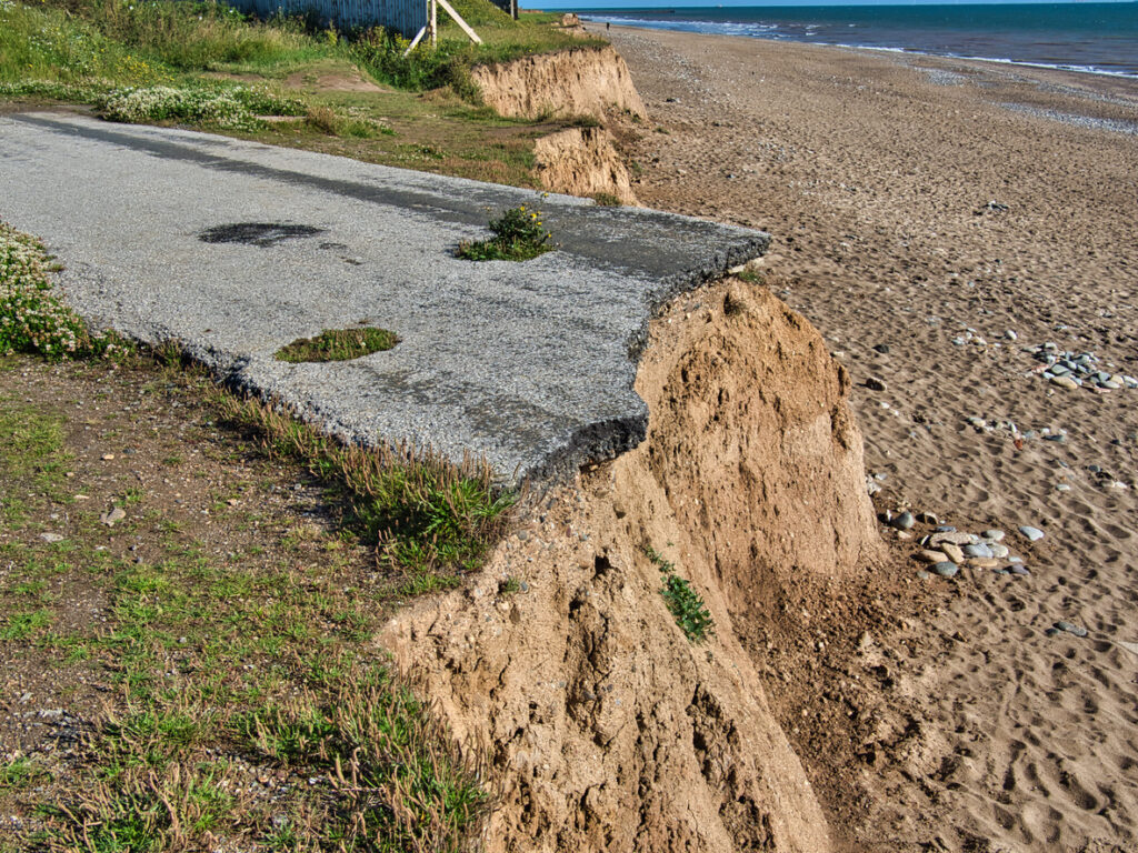
Our islands are being reshaped by a relentless combination of rising tides, crumbling soft rock, and the slow, heavy move of ancient glaciers that still affects the land today. In some spots, the map you used five years ago is already a work of fiction. From coastal villages that are losing metres of ground to every winter storm, to sand dunes that migrate like slow-motion waves across the horizon, these 10 locations prove that Great Britain is a work in progress rather than a finished product.
The Holderness Coast is Europe’s fastest-eroding shoreline.
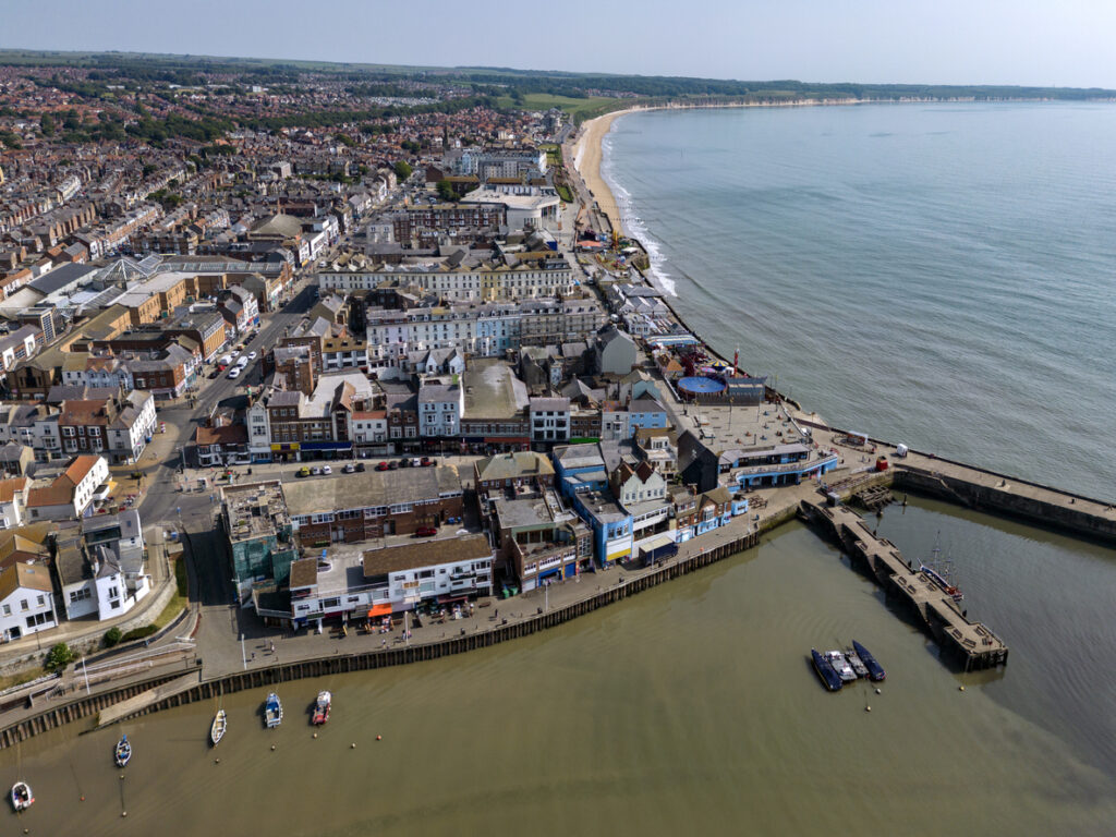
The stretch of coastline between Bridlington and Withernsea in East Yorkshire is vanishing at a terrifying rate. This isn’t exaggeration, it’s genuinely the fastest-eroding coast in all of Europe. The soft boulder clay cliffs crumble away at an average rate of about 1.2 metres every single year, though some spots lose much more during bad storms. Since detailed records began in 1852, the coastline has retreated dramatically, and nearly 30 historic villages have completely disappeared into the North Sea. Around 195 homes are expected to be lost by 2105, with 18 of those at serious risk by 2025. The problem is that the clay is just too soft to resist the pounding of the North Sea.
Spurn Head is moving westward at 2 metres per year.
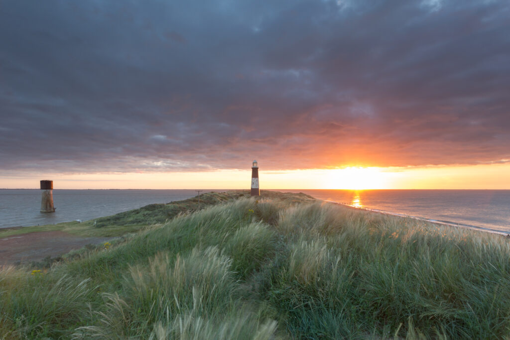
This peculiar sand and shingle spit stretching across the mouth of the Humber Estuary is literally migrating. Spurn Head moves westwards at roughly 2 metres every year, keeping pace with the coastal erosion happening further north along the Holderness Coast. The Victorian-era sea defences that were meant to protect it actually made things worse by preventing the natural wash-over process that would have kept the whole spit stable. Now those crumbling defences won’t be replaced and nature is taking its course. In 2013, a massive storm surge washed away a kilometre of road and turned Spurn into a tidal island. At high spring tides, water now flows across the middle section, cutting it off from the mainland.
Happisburgh has lost 75 metres in just 20 years.
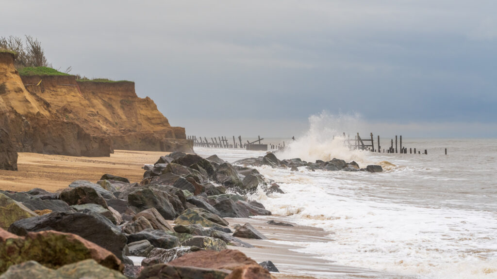
This Norfolk village is watching itself disappear into the sea in real time. Over the past two decades, the cliffs at Happisburgh have retreated by 75 metres, and another 100 metres are predicted to vanish in the next 20 years. That’s not a slow geological process, that’s land disappearing at a rate you can actually measure during your lifetime. In the past 20 years alone, 34 cliff-top houses have been demolished or fallen into the sea. The soft glacial tills that form the cliffs just can’t withstand the constant battering from waves, and when sea defences were damaged and not replaced, erosion accelerated dramatically.
Dunwich went from medieval city to tiny village.
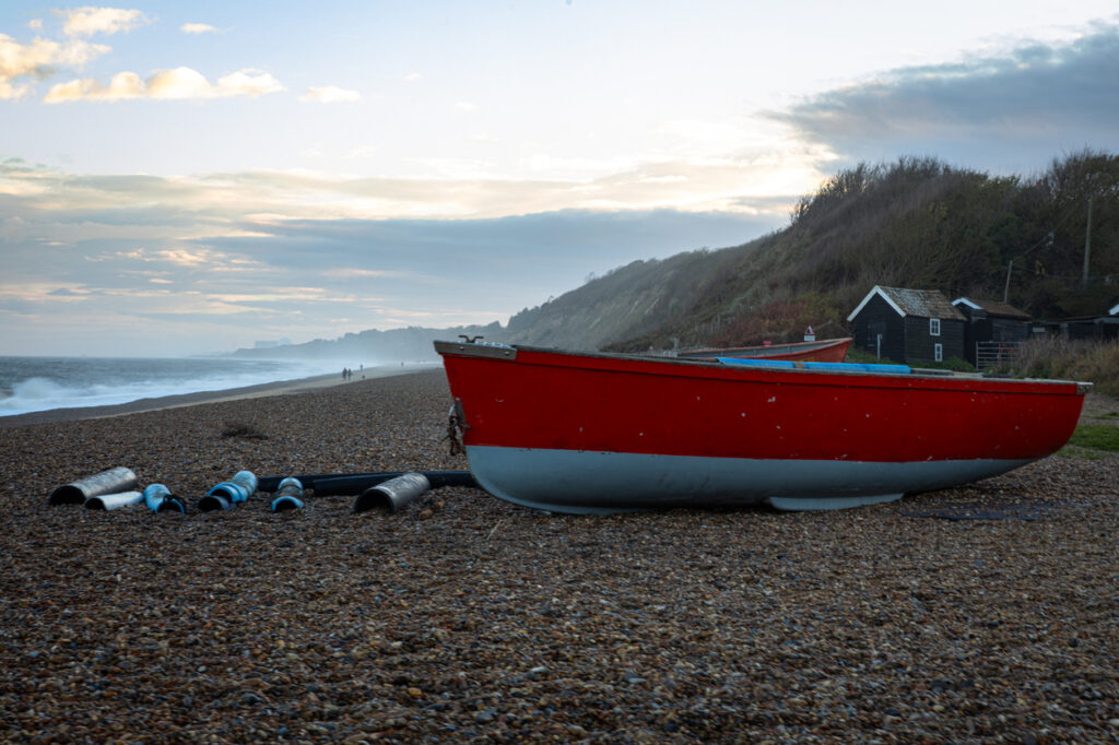
Once the size of the City of London with a population of 10,000 people, Dunwich in Suffolk has been steadily consumed by the sea since devastating storms in 1288 and 1328 kicked off centuries of relentless erosion. At its peak it had 18 churches, monasteries, shipyards, and was a major international port. Now it’s a village of about 200 people with most of the medieval city lying underwater off the coast. All Saints’ Church teetered on the cliff edge for years before finally collapsing into the sea in 1919, its graveyard tumbling down with it. You can still find bones washing up on the beach from that eroded cemetery. The underwater ruins now form the largest medieval underwater site in Europe.
Skipsea lost 9 metres in a single year.
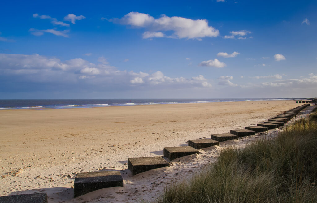
While other locations along the Yorkshire coast have been given sea defences, Skipsea hasn’t, and the results are dramatic. In 2019 alone, the coastline at Skipsea eroded over 9 metres just from storms that year. This is happening because when you protect one bit of coast with defences, the unprotected sections nearby often suffer worse erosion as wave energy gets redirected. Skipsea is taking the hit for its better-defended neighbours, and homes there are expected to be lost to the sea in the coming years.
Norfolk’s beaches and dunes reshape themselves constantly.
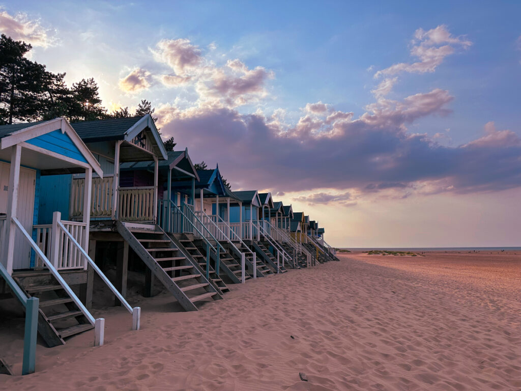
The wide sandy beaches and dramatic dune systems along the Norfolk coast are in a state of constant flux. In December 2013, one of the worst winter storm surges in 35 years hit Studland Bay and stripped away up to 10 metres of sand dunes in a single storm. These aren’t permanent features, they’re temporary accumulations of sand that build up and get stripped away depending on storms, tides, and seasonal weather patterns. What looks like a stable beach one summer might be completely different the next year.
Saltmarshes are being squeezed against sea walls.
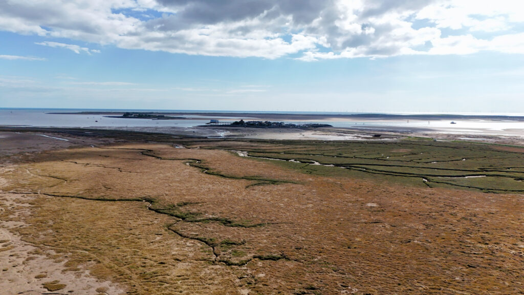
Along the Essex and Norfolk coasts, saltmarshes that have existed for centuries are disappearing through something called coastal squeeze. As sea levels rise, the saltmarsh gets eroded on its seaward side by waves, but it can’t migrate inland because there are medieval earthen sea walls blocking its path. The marshes get progressively narrower, trapped between rising seas and immovable defences. These habitats that provide crucial protection against storm surges and support unique ecosystems are literally being squeezed out of existence.
Beach Road in Happisburgh leads directly into the sea.
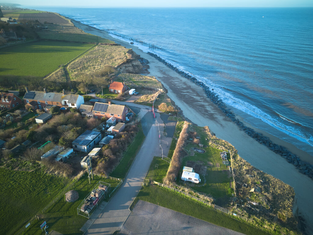
The road called Beach Road in Happisburgh used to go somewhere. Now it just ends abruptly at a cliff edge and carries straight on under the waves. This isn’t an old abandoned road, it’s a modern road that’s been steadily eroded away as the cliff retreats. Google Street View from 2009 still shows the road continuing beyond where it now ends, that’s how fast this is happening. Houses that were set back from the road with gardens in front are now perched right on the cliff edge, and the road they once faced has disappeared entirely.
Historic villages are washing out of the seabed.
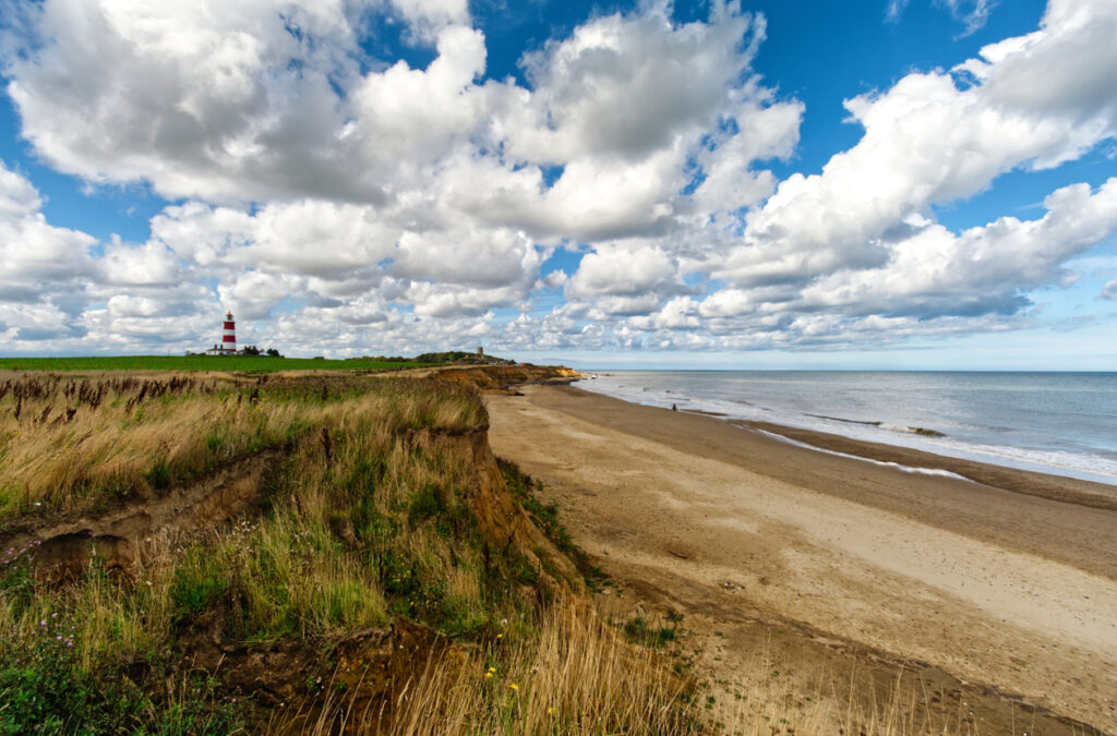
The medieval village of Whimpwell, which once sat between the modern village of Happisburgh and the sea, has been completely eroded away. By 1183, only one field remained, and now it’s entirely underwater. Divers have found a large L-shaped stone structure beneath the seabed off Happisburgh, measuring 75 yards by 200 yards and rising to 40 feet in places. It might be a quay from Whimpwell. All along the Norfolk and Yorkshire coasts, remains of lost settlements keep appearing as the seabed shifts and reveals what was once dry land.
The old Hollym water treatment works had to be moved inland.
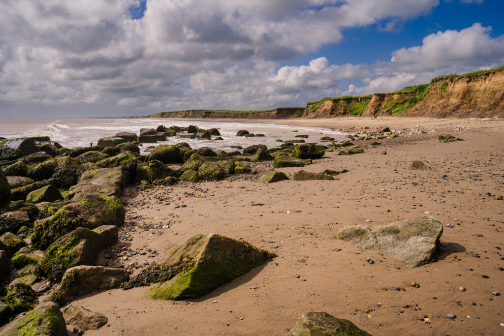
When Yorkshire’s Hollym water treatment works was upgraded in 1991, it sat a comfortable 168 metres back from the shoreline. By 2018, just 27 years later, it was only 40 metres from the coast. That’s how fast the Holderness Coast is eroding, you can build major infrastructure well back from the sea and still have to relocate it within a generation. The facility was moved further inland in 2020 to avoid it tumbling into the North Sea, but even its new location is only buying time before the relentless erosion catches up again.