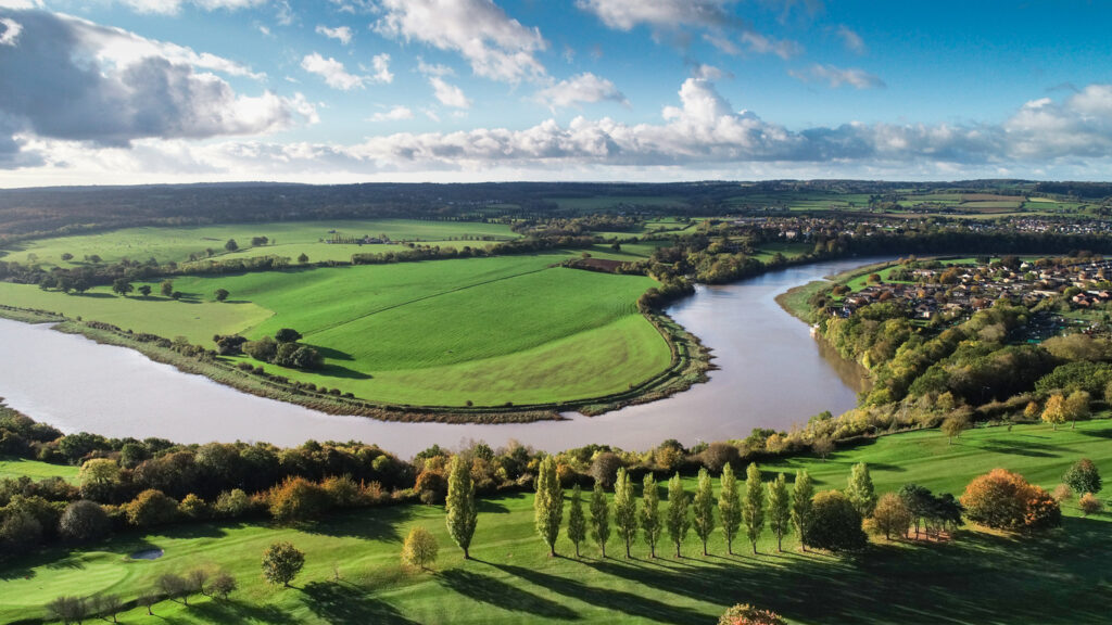
Most people don’t realise that rivers don’t stay neatly where maps first put them. They move slowly, sometimes suddenly, and occasionally cut a brand-new route through land that was never meant to be riverbank. When that happens, the law has to decide who owns which bit of ground and what happens to the buildings, fences or farmland now sitting on the “wrong” side of the water. It sounds like something that should have a tidy rule, but it often depends on why the river moved and how permanent it looks.
Things get even more complicated when the river marks a boundary between properties or between countries. A small change in direction might mean part of your land is technically on someone else’s side, or the edge of a county line shifts without anyone agreeing to it. Courts usually step in to work out whether the change was natural or caused by human work, and whether ownership should follow the new course or stay where it was drawn originally. It’s one of those areas where nature quietly rewrites paperwork, and people have to figure out how to keep up.
Property boundaries can change overnight with the riverbank.
In most legal systems, if you own land next to a river, your property line goes right to the water’s edge. This means when the river gradually erodes one bank and deposits soil on the other, property boundaries actually move with it. You could wake up one morning owning less land because the river’s eaten away at your side, while your neighbour across the way gets extra land for free.
This principle is called accretion in legal terms, and it’s been around for centuries. The idea is that slow, natural changes to riverbanks are just part of owning riverside property, and you take the rough with the smooth. If the river’s gradually giving you more land through deposits, brilliant. If it’s slowly nicking your land through erosion, that’s just tough luck and perfectly legal.
Sudden changes follow completely different rules.
If a river suddenly changes course during a flood or storm, cutting a completely new channel, the old property boundaries usually stay put. This is different from gradual erosion because the change happened all at once rather than slowly over time. The law treats these sudden changes, called avulsion, totally differently from slow erosion.
When a river suddenly jumps to a new path, the old boundaries remain where they were before the change. This means you might end up owning a strip of dry land where the river used to be, or suddenly find yourself separated from the water entirely. It’s the opposite of gradual change, where boundaries move with the water.
Islands that form in rivers create ownership nightmares.

When a river deposits enough sediment to create a new island, working out who owns it becomes a proper mess. If the island forms closer to one bank, it typically belongs to whoever owns that nearest bit of shore. But if it forms right in the middle, it might get split between the landowners on both sides according to an imaginary centre line.
These ownership disputes get even messier in rivers that form borders between countries or counties. A new island could potentially belong to a different jurisdiction than the surrounding land, creating all sorts of administrative headaches. Some islands have been fought over in court for decades because nobody can agree on the ownership rules that should apply.
Water rights don’t automatically follow land ownership changes.
Just because you’ve gained land through river movement doesn’t mean you automatically get water rights that come with it. Water rights are often separate from land ownership, especially in areas where water is scarce. Someone might own land that the river’s abandoned, but still hold the rights to take water from wherever the river flows now.
This separation of land and water rights creates situations where you own riverside property but have no legal right to actually use the water flowing past it. Meanwhile, someone whose land is now far from the river might still have historical water rights they can enforce. It’s a legal nightmare that often ends up in court when rivers change significantly.
International borders can move with the river or stay fixed.
@borderbloodlines The River That Changed the Border When the Rio Grande shifted its course in the late 1800s, entire Mexican and Tejano communities suddenly found themselves declared “foreigners” without ever moving an inch. Families who had lived on the same land for generations were told they no longer belonged, their homes split by a river that governments used to redraw borders and erase rights. The Chamizal dispute in El Paso became a century-long battle that proved one truth: borders are not natural, they are imposed. Nature moves, rivers shift, but people’s roots remain. This is not just geography — it’s memory, survival, and identity. Rio Grande river border shift Chamizal dispute El Paso history Families declared illegal after river moved #texashistory #latinohistory #borderbloodlines #mexicanhistory #indigenoushistory ♬ Epic Cinematic Emotional(1302956) – MaxRecStudio
When rivers form international borders, countries have to agree beforehand what happens if the river moves. Some treaties say the border moves with the main channel of the river, while others fix the border at a specific line regardless of where the water goes. These decisions have massive implications when rivers change course.
The Rio Grande between the US and Mexico is a famous example where the border follows the river’s deepest channel, meaning the border has moved loads over the years. Other countries prefer fixed borders marked by coordinates because dealing with moving boundaries is too complicated. There’s no universal rule, it depends entirely on what the countries agreed to in their treaties. It’s not so much an issue in the UK, but still worth noting.
Abandoned river channels create legal limbo zones.
When a river completely abandons its old course and cuts a new channel, the old riverbed becomes what’s called relicted land. Who owns this newly dry land depends on whether the change was gradual or sudden, and different countries have different rules about it. Sometimes the old riverbed gets divided between the adjacent property owners, sometimes it goes to the government.
These abandoned channels often become valuable land because they’re flat, fertile, and in established areas. Fighting over who owns them can get intense, especially if the old riverbed is large. Some landowners suddenly find themselves with valuable extra property, while others get nothing despite being equally close to the old channel.
Navigation rights complicate everything further.
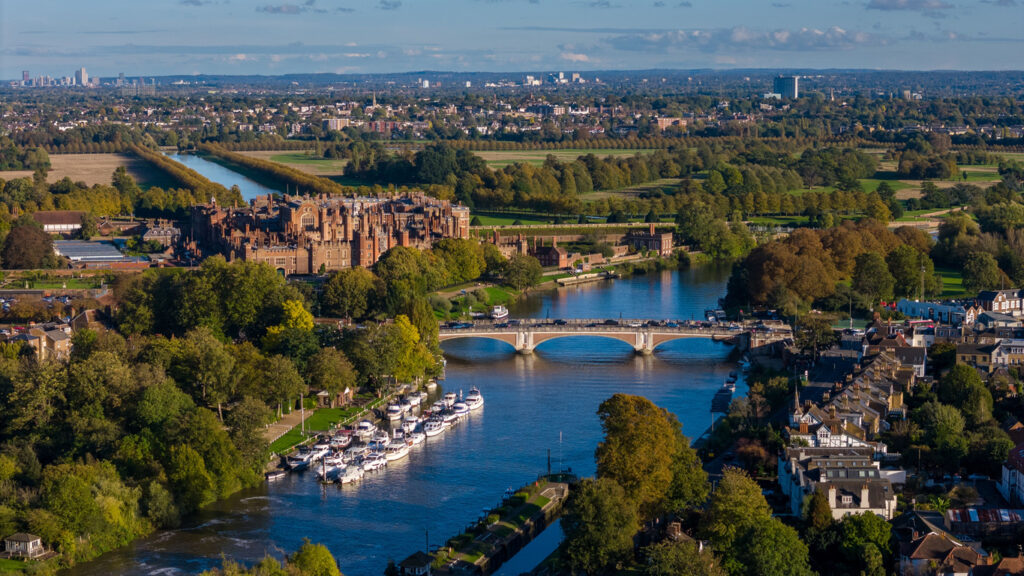
If a river was navigable and used for transport, there are often public navigation rights that survive even after the river changes course. This means even if you end up owning the land where the old river was, the public might still have legal rights to use it if water ever returns. These navigation rights can last for centuries.
When rivers change course, working out whether navigation rights transfer to the new channel or stay with the old one creates legal disputes. Shipping companies and recreational boaters might have rights to use waterways that no longer exist as rivers, while new channels might not have the same public access rights as the old ones did.
Dams and human changes are treated differently.
When humans deliberately change a river’s course through dams, canals, or other engineering, the legal rules are totally different from natural changes. Property owners can’t claim land gained through someone else’s deliberate actions the way they could with natural river movements. If a dam causes the river to change and deposit land on your property, you don’t automatically own it.
The distinction exists to stop people gaming the system by deliberately redirecting rivers to gain land. Courts look at whether the change was natural or human-caused, and who benefits from it. If you built something that made the river move, and you gained land from it, expect legal challenges from everyone affected by your actions.
Historic property deeds often reference rivers as boundaries.
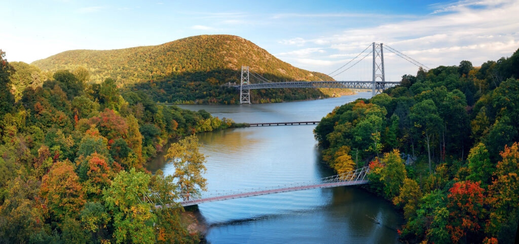
Loads of old property deeds describe boundaries as going to the river or following the riverbank without being more specific than that. When these rivers change course decades or centuries later, working out what the original deed actually meant becomes a legal archaeology project. Lawyers have to dig through historical records to figure out where the river was when the deed was written.
These vague historical descriptions cause endless disputes because there’s often no clear record of exactly where the river flowed when someone’s great-great-grandfather bought the land. Courts have to interpret Victorian or even older language about property boundaries and apply it to current river positions that might be completely different.
Climate change is making river changes more common and complicated.
With more extreme weather and changing rainfall patterns, rivers are changing course more frequently than they used to. This is putting old legal frameworks under strain because they were designed for relatively stable rivers that changed slowly over generations. Now rivers can jump channels in single storm events, creating boundary disputes that the old laws struggle to handle fairly.
Legal systems are having to adapt to this new reality, where river changes happen faster and more dramatically than before. Some jurisdictions are updating their laws to better deal with rapid changes, while others are stuck with centuries-old rules that don’t fit current conditions. It’s creating uncertainty for anyone who owns riverside property or depends on river boundaries.